
01 / Cut / fill analysis
Earthwork volume reports
Clear aerial volume reporting for grading, stockpiles, and earthmoving decisions.

Aerial data and project documentation for contractors, developers, land surveyors, and civil engineering teams that need a clearer view of what is happening on the ground.
FAA Part 107 licensed
Muncy, PA
Designed to slot into active construction, development, and civil workflows without adding friction.
01 / Cut / fill analysis
Clear aerial volume reporting for grading, stockpiles, and earthmoving decisions.
02 / Progress capture
Repeatable aerial site documentation that gives stakeholders a timely view between site visits.
03 / Civil support
Aerial mapping, photogrammetry, and CAD-ready data capture with exports (DXF) that land surveyors and engineers can bring into their own CAD software.
Operating standard / NDS-02
01
Every flight is operated with the professional standards your site and team expect.
02
Deliverables are organized to support real field questions, from existing conditions to volume tracking.
03
A focused process keeps project data moving so teams can stay on schedule.
Flight operations
Part 107
Deliverable focus
Field-ready
Coverage
Central PA
Aerial project views
Aerial documentation brings site conditions, active work, and project progress into clear view for every stakeholder.
Aerial photography
Site grading overview
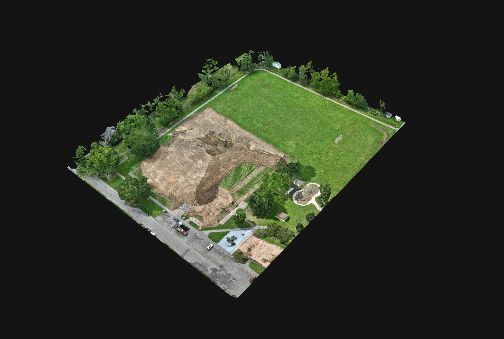
Mapping data
Mapping deliverable preview
Request a quote
Tell us what you are planning, measuring, or documenting. We will follow up with a practical path forward.
570-506-1847[email protected]Muncy, PA 17756
Include the project location and scope so we can prepare for the right deliverable.